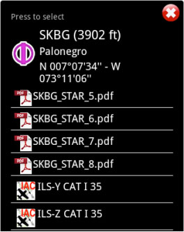
We will set the class of the approach (VFR/IFR) chart we want to use in the Settings panel, where the user can also enable or disable the option «Auto approach chart». When enabled, the geo-referenced approach charts will be opened on the map automatically by Air Nav Pro for the destination waypoint.
Example: if I create a Route: SKBG - SKBO - SAEZ.
If we have downloaded the approach charts for SAEZ, then an approach chart will pop up on the map when SAEZ is our next selected waypoint.
