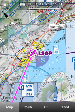
Air Navigation Pro supports geo-referenced approach charts that can be opened directly over the map.
We offer a 1-year-subscription package that includes:
- Geo-referenced Approach Charts to be used on the map.
- Approach Charts PDF documents (with additional info).
- Regular updates according to the Amendment cycles.
To purchase a subscription, read the article Installation.
