On a mobile, this button toggles the moving map data bar visibility on/off. On a tablet, this button toggles between
Split-screen and
Full-screen mode. The split screen shows the HSI instrument and the Route module on the left side of the screen.
«Map options» displays the
Map Settings, where you can configure what will be displayed on the map and how. You will find options to configure the Airspace format, filter waypoints, enable/disable the Elevation Graph and more.
Toggles between Flight mode and
Edit mode. When Edit mode is turned on, a yellow-black bar at the top of the screen indicates it is active. It is possible to tap waypoints on the map to add/remove them to/from a current route and also press and drag a leg up to a waypoint to include it in the created route as well.
Displays the waypoint database where it is possible to
Search for a particular waypoint or list nearby waypoints, sorted by distance. The search can be done by Airport name, city name, ICAO code, or directly by accessing to the list of countries.
Displays the list of
stored Routes. Tapping on a route from the list will set this route as current, displaying the legs in the
«Route module» and displaying the route in the moving map.
Selects the
Nearest Airfield from your current location as a direct-to waypoint.
Eliminates the Route from the Map in order to fly freely without following any legs.
It also Hides the Approach Charts from the Map as well.
The
«Document Browser» allows the user to create an
Aircraft profile to use with Air Nav Pro. On a mobile, this tool is reachable from the «Config» tab at the bottom right corner .
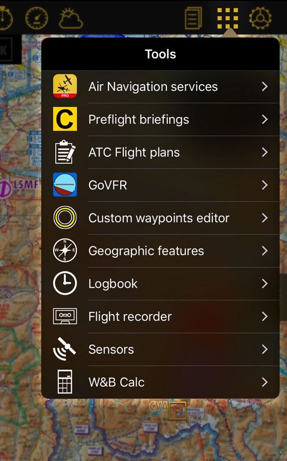
Displays the
Tools list where you can find additional utilities. On a mobile, the tools are reachable from the «Config» tab at the bottom right corner.
«Config» button displays the application behavior and customize units and other
Settings. On a mobile, the settings are reachable from the «Config» tab at the bottom-right corner.
Back to index.


