Desde este menú puede exhibir, ocultar y organizar sus mapas instalados. Puede mostrar varios mapa de diferentes proveedores y usarlos al mismo tiempo.
Fotos satelitales
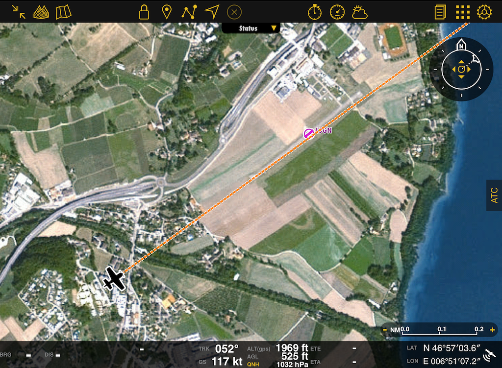
Es posible mostrar imágenes satelitales en el Mapa móvil. Para que esta herramienta funcione, el paquete de datos de la Vista 3D para su área debe estar descargado desde el Map Store.

Arrastrar para reordenar
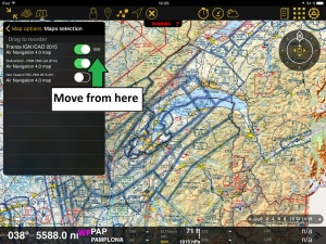
Manteniendo presionado el borde derecho de la carta, podrá reordenar la posición de las mismas. Esto resulta útil cuando dos cartas muestran la misma área y desea darle que una aparezca encima.
Por ejemplo:
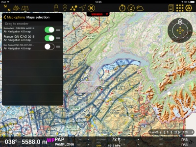
En la captura de pantalla a la derecha, mostramos las cartas “France IGN ICAO 2015” y “Switzerland 2014” una encima de la otra. Pareciera que a la carta francesa le falta una parte, pero en realidad no es así. Es un claro ejemplo de SUPERPOSICIÓN.
You can solve this problem by simply moving the charts up or down in the «Maps» panel or switching them ON or OFF. On the picture on the right, we show the chart from Switzerland on top of the one from France. So, if we move it below, the latter will show on top of the former. This is shown on the picture above.
Troubleshooting
- My installed maps are not showing
- Check that they're enabled under Map Options - Maps. If they are and you are still not seeing them, make sure to place them at the top of the list. They might be hidden behind another chart.
- I cannot erase maps
- You can erase maps from Configuration - Add-ons (Map Store) - Installed products
Back to previous page.

