(Created page with "<br /> ---- Un des atouts d’Air Navigation, c’est son adaptabilité à plusieurs types de tâches. Vous allez vous apercevoir que l’application permet d’aboutir au mê...") |
(Created page with "== Après l’installation == ---- * Créez un compte gratuit à Xample Services. Avec ce compte, vous pourrez: ** Voir et partager vos vols grâce au service Live Tracking. *...") |
||
| Line 11: | Line 11: | ||
<br /> | <br /> | ||
| − | == | + | == Après l’installation == |
---- | ---- | ||
| − | * | + | * Créez un compte gratuit à Xample Services. Avec ce compte, vous pourrez: |
| − | ** | + | ** Voir et partager vos vols grâce au service Live Tracking. |
| − | ** | + | ** Acquérir d’autres produits qui ne sont pas dans le Map Store d’iOS. Au delà des produits du Map Store, vous pouvez vous procurer (éventuellement payants): |
| − | *** | + | *** Cartes d’approche géoréférencées |
| − | *** | + | *** Service de briefing d’avant-vol |
| − | *** ATC | + | *** Plans de vols ATC |
| − | *** | + | *** Base de données d’obstacles |
| − | *** | + | *** Module de recherche de lieux |
| − | <br/> | + | <br /> |
| − | * | + | * N’oubliez pas de visiter la boutique des cartes (Configuration - Produites (Boutique)) pour installer toutes les données nécessaire à votre vol. |
| − | ** | + | Produits que vous y trouverez: |
| − | ** 3D | + | ** modèles gratuits pour la vue en coupe |
| − | ** | + | ** modèles de terrains 3D pour la vue en 3D (payants) |
| − | ** | + | ** cartes gratuites pour la carte défilante |
| − | ** | + | ** cartes aéronautiques et topographiques pour la carte défilante (payants) |
| − | <br/> | + | ** Base de données des waypoints et des espaces aériens |
| − | * | + | <br /> |
| − | ** | + | * Parcourez tous les menus et configurez l’application selon vos préférences: |
| − | ** Configuration - | + | ** Options de carte : ajoutez ou enlevez les différents éléments de la carte défilantes (vue en coupe, espaces aériens, waypoints, widgets, cartes, etc.) |
| − | ** | + | ** Configuration - Réglages; choisir les unités, quel Nord et autres. |
| − | <br/> | + | ** Outils - Capteurs : utilisez ce menu pour ajouter et configurer des capteurs externes. Si vous préférez utiliser la centrale à inertie interne, activez-la ici. |
| − | * | + | <br /> |
| − | <br/> | + | * Créer un profil d’avion dans Documents - Aéronef. Cela permettra l’application d’estimer les temps avec précision et vous aidera pour le calcul de masse & centrage et le carburant. |
| − | * | + | <br /> |
| − | <br/> | + | * Téléchargez vos données dans l’application (Pdf, waypoints, espaces aériens, itinéraires). |
| + | <br /> | ||
== Pre-flight == | == Pre-flight == | ||
Latest revision as of 20:23, 23 August 2017
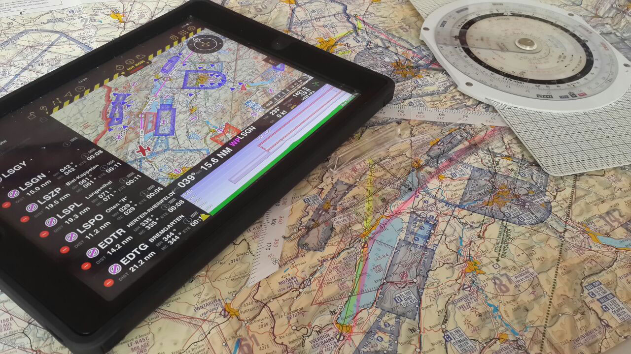
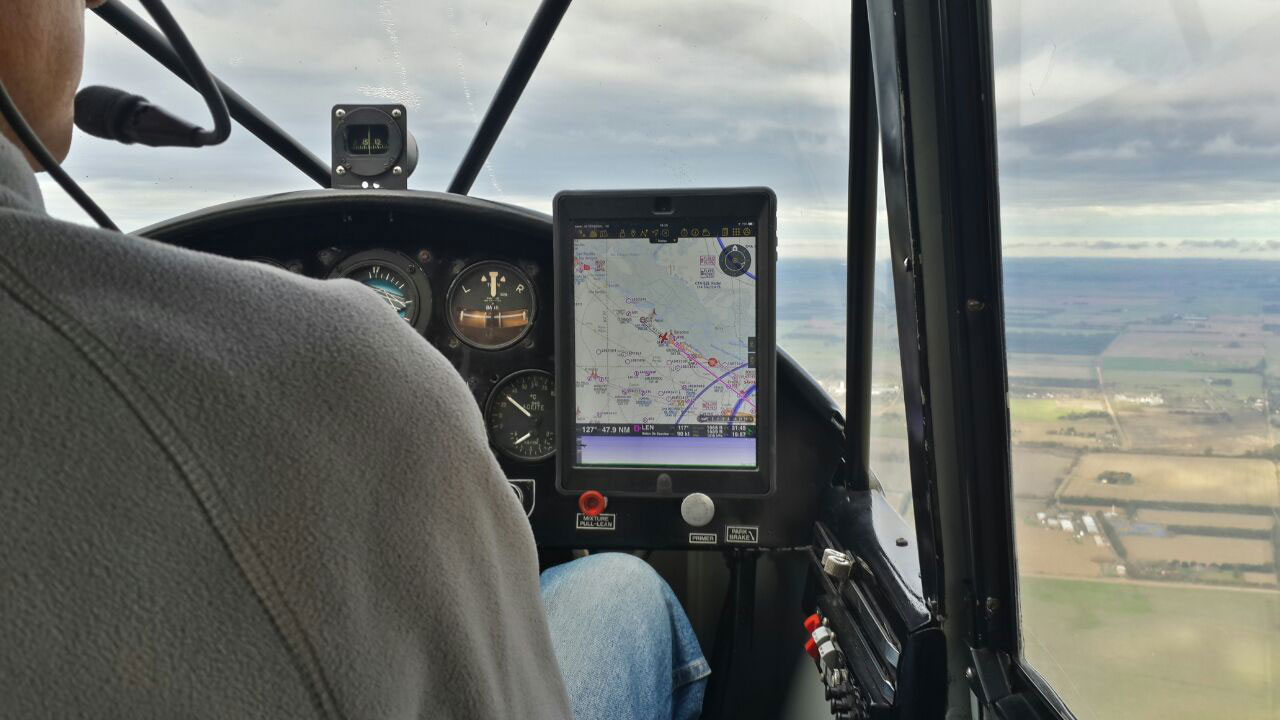
Un des atouts d’Air Navigation, c’est son adaptabilité à plusieurs types de tâches. Vous allez vous apercevoir que l’application permet d’aboutir au même résultat de différentes façons. Par conséquent, ce guide n’est qu’une référence et ne saurait être considéré comme la seule façon d’utiliser l’application. L’interface, conviviale et intuitive, vous permettra de vous l’approprier et, grâce à l'expérience acquise, utiliser de plus en plus les fonctionnalités avancées.
Contents
Installation
- Installez Air Navigation Pro en partant d’ici.
Après l’installation
- Créez un compte gratuit à Xample Services. Avec ce compte, vous pourrez:
- Voir et partager vos vols grâce au service Live Tracking.
- Acquérir d’autres produits qui ne sont pas dans le Map Store d’iOS. Au delà des produits du Map Store, vous pouvez vous procurer (éventuellement payants):
- Cartes d’approche géoréférencées
- Service de briefing d’avant-vol
- Plans de vols ATC
- Base de données d’obstacles
- Module de recherche de lieux
- N’oubliez pas de visiter la boutique des cartes (Configuration - Produites (Boutique)) pour installer toutes les données nécessaire à votre vol.
Produits que vous y trouverez:
- modèles gratuits pour la vue en coupe
- modèles de terrains 3D pour la vue en 3D (payants)
- cartes gratuites pour la carte défilante
- cartes aéronautiques et topographiques pour la carte défilante (payants)
- Base de données des waypoints et des espaces aériens
- Parcourez tous les menus et configurez l’application selon vos préférences:
- Options de carte : ajoutez ou enlevez les différents éléments de la carte défilantes (vue en coupe, espaces aériens, waypoints, widgets, cartes, etc.)
- Configuration - Réglages; choisir les unités, quel Nord et autres.
- Outils - Capteurs : utilisez ce menu pour ajouter et configurer des capteurs externes. Si vous préférez utiliser la centrale à inertie interne, activez-la ici.
- Créer un profil d’avion dans Documents - Aéronef. Cela permettra l’application d’estimer les temps avec précision et vous aidera pour le calcul de masse & centrage et le carburant.
- Téléchargez vos données dans l’application (Pdf, waypoints, espaces aériens, itinéraires).
Pre-flight
- Plan the route. Change to Edit Mode in order to be able to easily create routes.
- You can print the operational flight plan in case you want to have a copy of it in paper
- Check the weather status with help of the METARs and TAFs in the weather report menu.
- Enter the wind information in the Route summary and let Air Navigation calculate the heading and ground speed for you. Let that old flight computer in the flight bag and forget about solving wind triangles.
- Use the W&B Calc under Tools to check that you are within the aircraft weight and balance limits.
- Use the Preflight briefing to check for NOTAMs along the planned route from within the app or from the Xample Services website. (Additional subscription required)
- File an ATC Flight Plan from within the app or from the Xample Services website. (Additional product required)
- Check that there are no warnings in the sensor status bar.
- Check that your add-ons are up to date in the Map Store.
- Set a target altitude in the Alerts menu to let Air Navigation Pro warn you when you're reaching the altitude or leaving it. You can also set an airspace ahead warning to let you know 5mins prior to entering an airspace to know when to contact ATC or avoid entering it.
Taxi
- Once everything is set and you are ready to taxi you can set the Block-Off time in the logbook. In case you are using the automatic logbook function, this will be done automatically as soon as you start moving.
Take-Off
- Again, you can manually set the time or let the automatic logbook function do it for you. As soon as you start gaining speed and some altitude Air Navigation will record the Take-Off time.
Cruise
- Air navigation will compute ETA, ETE and distance with your current GPS information
- Forgot a frequency or runway ID? Just tap on an airspace or aerodrome to check the information related to it.
- Got off course? Just tap on the next Waypoint in the databar to see your current cross track error. You can also resync the route, this will create a new waypoint in your actual position. You can also just double-tap on the next waypoint to resync the route.
- Bad at remembering things? Just set an alarm and let Air Navigation warn you at a certain time or time interval. Useful for when having to report to ATC or changing fuel tanks after certain time.
Descent / Approach
- Use the side drawers to quickly show information of the destination airport:
- PDF documents
- Airfield Information (Frequencies, runways, navaids, altitude)
- Weather and NOTAMs* information
- Display directly on the moving map the visual approach chart of the airfield.*
* Additional subscription required, check availability in your country.
- Display the runway ID and surface type graphically on the moving map with help of the Runway identifiers Widget.
Landing / Go Around
- Just training your landing skills? Let Air Navigation count your landings with the automatic logbook feature. You can also set the landing time manually.
Parking
- After some minutes to have stopped, Air Navigation will record the Block-On time when the automatic logbook feature is turned on. You can set it manually in the logbook as well.
Post-Flight
- Review your flight with the help of the Flight Recorder or the Live Tracking Service and share it with friends.
- Liked the experience? Recommend our product to your pilot-friends and follow us in social media to stay tuned with new features and products.
Back to previous page.

