| (6 intermediate revisions by 2 users not shown) | |||
| Line 15: | Line 15: | ||
---- | ---- | ||
* Create a free account at Xample Services. With this account you will be able to: | * Create a free account at Xample Services. With this account you will be able to: | ||
| − | |||
** See and share your flights with help of the Live Tracking service. | ** See and share your flights with help of the Live Tracking service. | ||
** Acquire further products that are not available in the iOS Map Store. Besides all the products available in the Map Store, you can acquire (subject to fees): | ** Acquire further products that are not available in the iOS Map Store. Besides all the products available in the Map Store, you can acquire (subject to fees): | ||
| Line 29: | Line 28: | ||
** free maps for the moving map | ** free maps for the moving map | ||
** aeronautical and topographic charts for the moving map (subject to fees) | ** aeronautical and topographic charts for the moving map (subject to fees) | ||
| + | ** Waypoints and airspaces database | ||
<br/> | <br/> | ||
* Check all menus and set the app to meet your personal requirements: | * Check all menus and set the app to meet your personal requirements: | ||
| Line 42: | Line 42: | ||
== Pre-flight == <!--T:3--> | == Pre-flight == <!--T:3--> | ||
---- | ---- | ||
| + | |||
| + | <!--T:8--> | ||
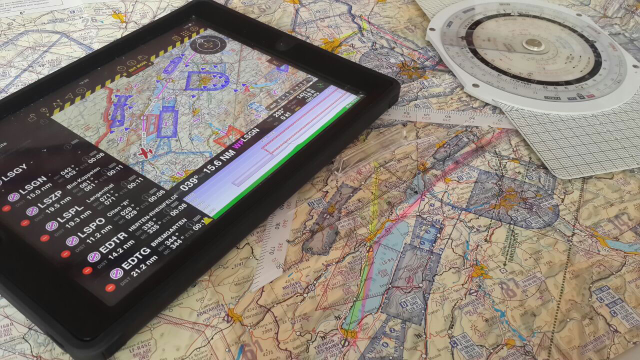
| + | [[File:start_flying.jpg]] | ||
| + | |||
| + | <!--T:9--> | ||
* Plan the route. Change to Edit Mode in order to be able to easily create routes. | * Plan the route. Change to Edit Mode in order to be able to easily create routes. | ||
<br/> | <br/> | ||
| Line 73: | Line 78: | ||
== Cruise == | == Cruise == | ||
---- | ---- | ||
| + | |||
| + | <!--T:10--> | ||
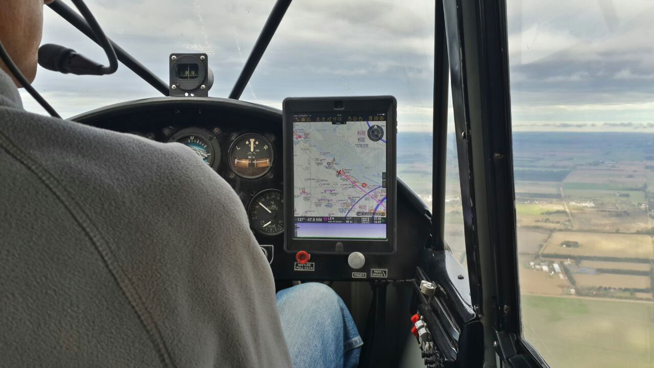
| + | [[File:cruise_airnav.jpg]] | ||
| + | |||
* Air navigation will compute ETA, ETE and distance with your current GPS information | * Air navigation will compute ETA, ETE and distance with your current GPS information | ||
<br/> | <br/> | ||
| Line 81: | Line 90: | ||
* Bad at remembering things? Just set an alarm and let Air Navigation warn you at a certain time or time interval. Useful for when having to report to ATC or changing fuel tanks after certain time. | * Bad at remembering things? Just set an alarm and let Air Navigation warn you at a certain time or time interval. Useful for when having to report to ATC or changing fuel tanks after certain time. | ||
<br/> | <br/> | ||
| − | == Descent / Approach == | + | == Descent / Approach == <!--T:11--> |
---- | ---- | ||
* Use the side drawers to quickly show information of the destination airport: | * Use the side drawers to quickly show information of the destination airport: | ||
| Line 110: | Line 119: | ||
<br/> | <br/> | ||
---- | ---- | ||
| − | + | Back to <u>[[Air Navigation iOS | previous page.]]</u> | |
| − | + | [[Category:Quick Start Guide]] | |
| − | < | + | |
| − | + | ||
| − | < | + | |
</translate> | </translate> | ||
Latest revision as of 23:45, 28 July 2017
One of the strengths of Air Navigation is its adaptiveness to many types of operations. You'll notice, that within the app there are many ways of reaching the same results. Therefore, this guide is meant as a basic guideline and should not be considered as the only way of using the app. The friendly and intuitive user interface of the app will lead you to find your own way through it and to gain experience using more advanced features with every use.
Contents
Installation
- Install Air Navigation Pro from here.
Post Installation
- Create a free account at Xample Services. With this account you will be able to:
- See and share your flights with help of the Live Tracking service.
- Acquire further products that are not available in the iOS Map Store. Besides all the products available in the Map Store, you can acquire (subject to fees):
- Georeferenced approach charts
- Preflight briefing service
- ATC flight plans
- Obstacles database
- Street & places search feature
- Make sure to visit the Map Store (Configuration - Add-ons (Map Store)) to install all the data you require for the flight. Products you can get from here:
- free elevation models for the elevation graph
- 3D elevation models for the 3D View (subject to fees)
- free maps for the moving map
- aeronautical and topographic charts for the moving map (subject to fees)
- Waypoints and airspaces database
- Check all menus and set the app to meet your personal requirements:
- Map Options; set the moving map elements (elevation graph, airspaces, waypoints, widgets, maps, etc.)
- Configuration - Settings; set units, north reference and others.
- Tools - Sensors; in case you are using external sensors set them up with help of this menu. If you would like to use the internal IMU to show attitude in the 3D View, activate it here.
- Create an aircraft profile under Documents - Aircraft. This will help the app to calculate times accurately and also help you with W&B and Fuel calculations.
- Upload your data to the app (PDFs, waypoints, airspaces, routes).
Pre-flight
- Plan the route. Change to Edit Mode in order to be able to easily create routes.
- You can print the operational flight plan in case you want to have a copy of it in paper
- Check the weather status with help of the METARs and TAFs in the weather report menu.
- Enter the wind information in the Route summary and let Air Navigation calculate the heading and ground speed for you. Let that old flight computer in the flight bag and forget about solving wind triangles.
- Use the W&B Calc under Tools to check that you are within the aircraft weight and balance limits.
- Use the Preflight briefing to check for NOTAMs along the planned route from within the app or from the Xample Services website. (Additional subscription required)
- File an ATC Flight Plan from within the app or from the Xample Services website. (Additional product required)
- Check that there are no warnings in the sensor status bar.
- Check that your add-ons are up to date in the Map Store.
- Set a target altitude in the Alerts menu to let Air Navigation Pro warn you when you're reaching the altitude or leaving it. You can also set an airspace ahead warning to let you know 5mins prior to entering an airspace to know when to contact ATC or avoid entering it.
Taxi
- Once everything is set and you are ready to taxi you can set the Block-Off time in the logbook. In case you are using the automatic logbook function, this will be done automatically as soon as you start moving.
Take-Off
- Again, you can manually set the time or let the automatic logbook function do it for you. As soon as you start gaining speed and some altitude Air Navigation will record the Take-Off time.
Cruise
- Air navigation will compute ETA, ETE and distance with your current GPS information
- Forgot a frequency or runway ID? Just tap on an airspace or aerodrome to check the information related to it.
- Got off course? Just tap on the next Waypoint in the databar to see your current cross track error. You can also resync the route, this will create a new waypoint in your actual position. You can also just double-tap on the next waypoint to resync the route.
- Bad at remembering things? Just set an alarm and let Air Navigation warn you at a certain time or time interval. Useful for when having to report to ATC or changing fuel tanks after certain time.
Descent / Approach
- Use the side drawers to quickly show information of the destination airport:
- PDF documents
- Airfield Information (Frequencies, runways, navaids, altitude)
- Weather and NOTAMs* information
- Display directly on the moving map the visual approach chart of the airfield.*
* Additional subscription required, check availability in your country.
- Display the runway ID and surface type graphically on the moving map with help of the Runway identifiers Widget.
Landing / Go Around
- Just training your landing skills? Let Air Navigation count your landings with the automatic logbook feature. You can also set the landing time manually.
Parking
- After some minutes to have stopped, Air Navigation will record the Block-On time when the automatic logbook feature is turned on. You can set it manually in the logbook as well.
Post-Flight
- Review your flight with the help of the Flight Recorder or the Live Tracking Service and share it with friends.
- Liked the experience? Recommend our product to your pilot-friends and follow us in social media to stay tuned with new features and products.
Back to previous page.

