(Created page with "<br /> ---- O aplicativo enviará pontos através do servidor em '''Tempo Real''' enquanto você está voando. Ao mesmo tempo, qualquer pessoa que esteja ligada a sua '''<u>...") |
(Created page with "<br /> caption A fim de utilizar esta ferramenta: * '''Entrar''' com sua conta de usuário; * '''Ativar «Live tracking service»''' a partir do menu «Too...") |
||
| Line 6: | Line 6: | ||
[[File:flightloc.jpg]] | [[File:flightloc.jpg]] | ||
| − | <br/> | + | <br /> |
| − | [[File:danger.jpg|caption]] | + | [[File:danger.jpg|caption]] A fim de utilizar esta ferramenta: |
| − | * ''' | + | * '''Entrar''' com sua conta de usuário; |
| − | * ''' | + | * '''Ativar «Live tracking service»''' a partir do menu «Tools». |
| − | <br/> | + | <br /> |
[[File:flightloc5.jpg]] | [[File:flightloc5.jpg]] | ||
Revision as of 16:09, 19 November 2015
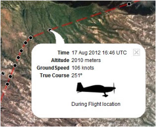
O aplicativo enviará pontos através do servidor em Tempo Real enquanto você está voando. Ao mesmo tempo, qualquer pessoa que esteja ligada a sua Conta do usuário poderá verificar esses pontos que desenham a trajetória do avião e também poderão ver a altitude atual, curso e o tempo.
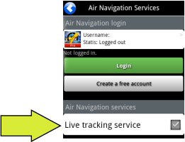
caption A fim de utilizar esta ferramenta:
- Entrar com sua conta de usuário;
- Ativar «Live tracking service» a partir do menu «Tools».
Note: Flight tracking system will work live as long as GSM network is available.
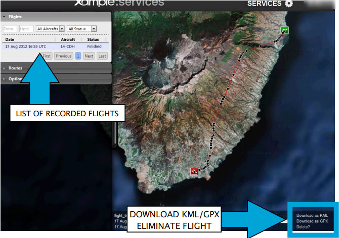
Each recorded flight will be stored on the left bar in the «AIRNAVIGATION» section of the User Account Website. It can be downloaded as a KML file or as a GPX file from the right side of the bottom data bar. You can also delete a flight.
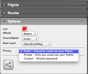
It is possible to keep the flight private or share it with family or friends with a password or set it as “public”. This can be configured from the «Options» tab on the "Privacy" bar (see image on the left).From this tab, it is also possible to change the units for altitude and speed, change the color of the track line and switch to a bunch of different map backgrounds.
Back to index


